
· Posts
Welcome Marie, our new Sales & Marketing Director
She will help us grow our community of users and partners.
She will help us grow our community of users and partners.

"Merci" Terinov & AD'OCC for the "Journée technique nationale: outils numériques pour les géosciences".
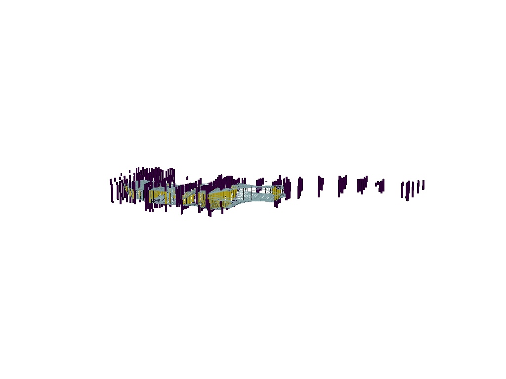
Experience 3d capabilities, closed surface, Python 3.9/3.10 support, and a whole lot of awesomeness packed in one release.
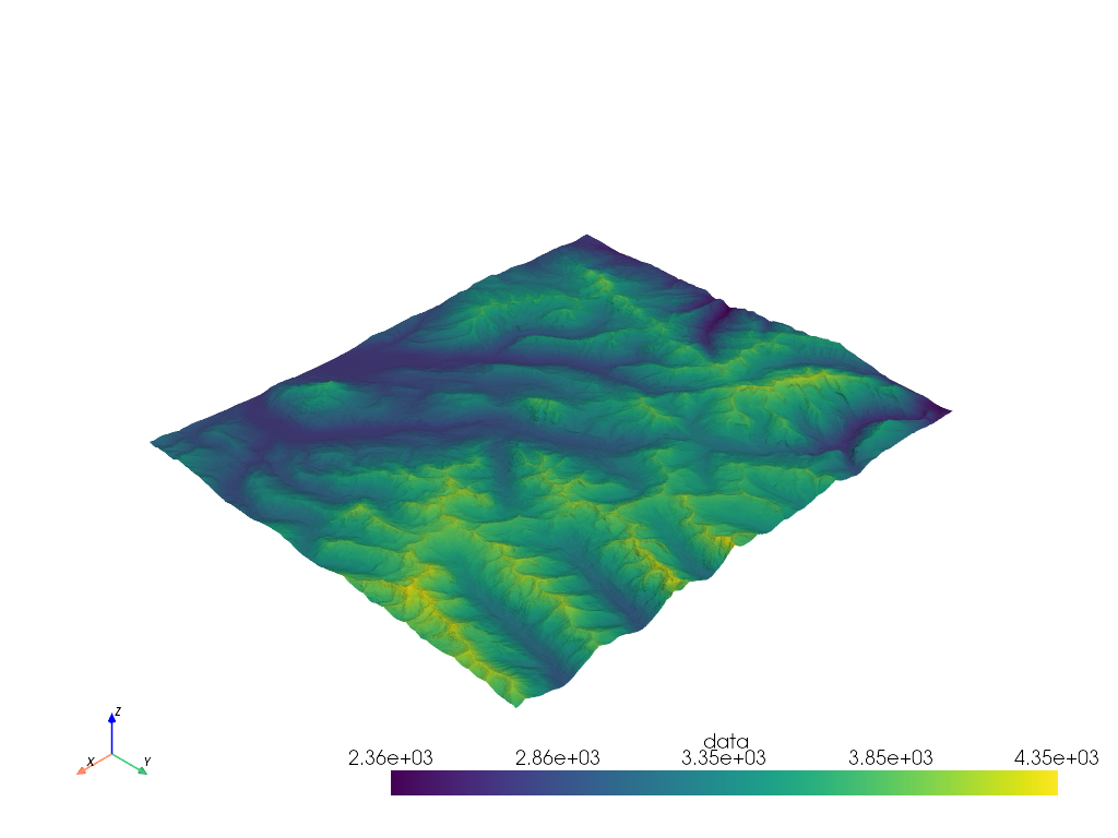
Whatever is your favorite geomodeler, time to improve your mineral resource estimation strategy.
Thank you to the brilliant minds behind this remarkable open-source Python library.
Let's explore the power of advanced algorithms in our field.