~ 1 min read
Simple GIS - Geographic Information System - with Python
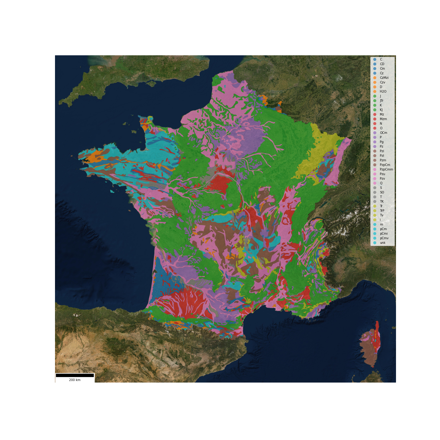
geol_france = geo.create_gis_object_from_file(
    name='FranceGeol',
    file_path='geologie_france.shp'
)
geol_france.plot(
    column='Lithologie',
    alpha=0.6,
    legend=True
)
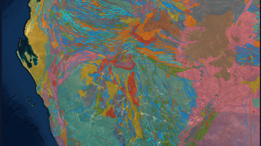
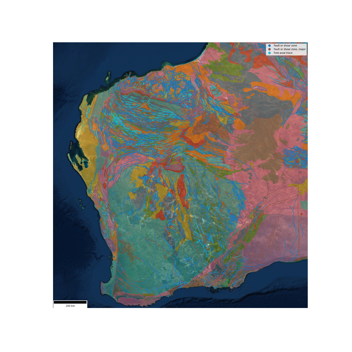
geol_wa = geo.create_gis_object_from_file(
    name='WesternAustraliaGeol',
    file_path='geologie_wa.shp'
)
geol_wa.plot(
    column=['Lithologie', 'Faults'],
    alpha=0.6,
    legend=True
)
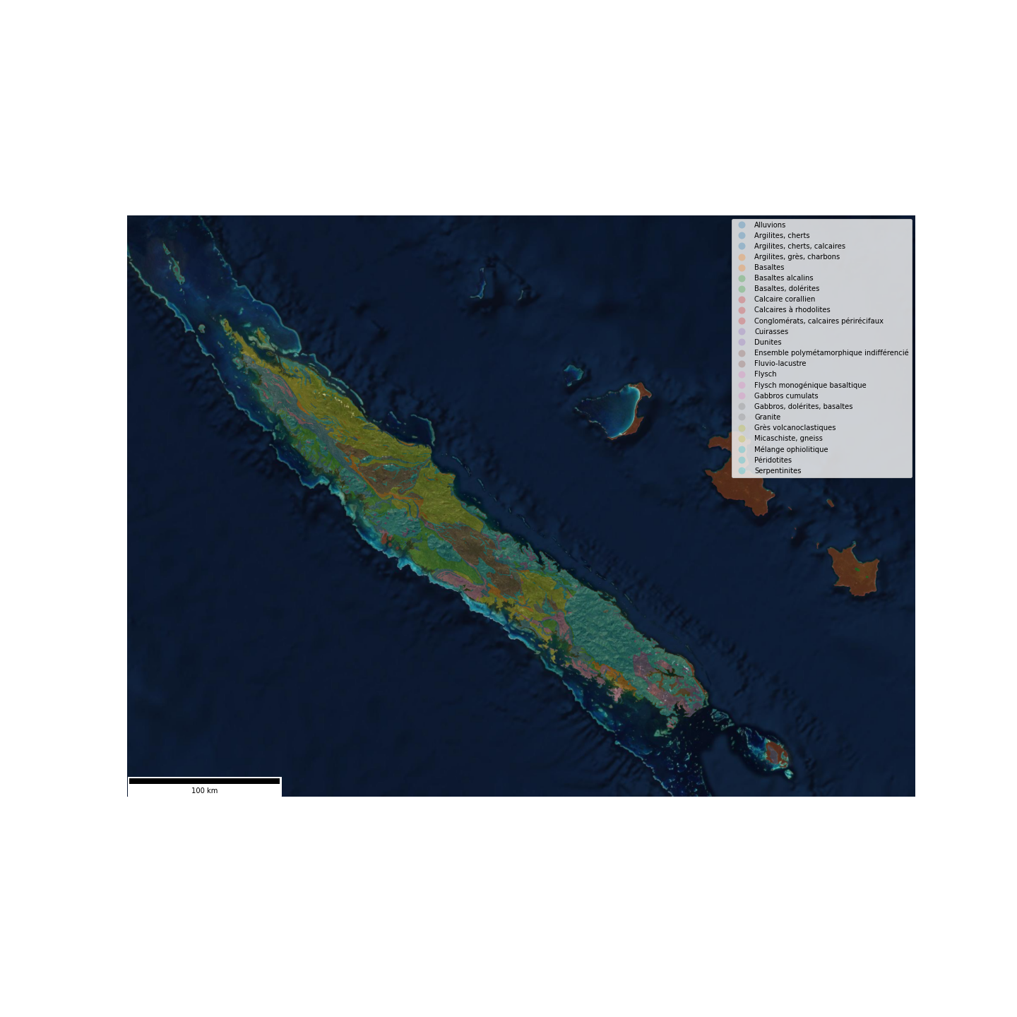
geol_nc = geo.create_gis_object_from_file(
    name='NouvelleCaledonieGeol',
    file_path='geologie_nc.shp'
)
geol_nc.plot(
    column='Lithologie',
    alpha=0.6,
    legend=True
)